
Map - Five New Regional Basemaps

Beyond the world mapBeyond the world map
The map component launched with two basemaps: the world by country and the US by state. The next question was always "what about my country?" So we added five more.
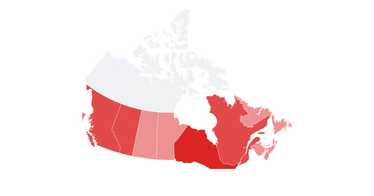
You can now shade regions inside Canada, Germany, Australia, Brazil and India. Each one keys the same way as the rest: a list of { id, value }, where id is the local region code, the ISO-3166-2 form, or the region name.
The five setsThe five sets
| Basemap | Regions | Example ids |
|---|---|---|
canada-provinces | 13 provinces and territories | ON, CA-ON, Ontario |
germany-states | 16 Bundesländer | BY, DE-BY, Bayern |
australia-states | 8 states and territories | NSW, AU-NSW, New South Wales |
brazil-states | 27 states | SP, BR-SP, São Paulo |
india-states | states and union territories | MH, IN-MH, Maharashtra |
Each set ships pre-projected with a fitted projection, the same way the US map uses Albers-USA, so it looks right with no setup. Regions you leave out of your data stay in emptyColor.
Switch with one propertySwitch with one property
POST https://render.imejis.io/v1/<design-id>
{ "map.basemap": "germany-states",
  "map.data": [
    { "id": "BY", "value": 92 },
    { "id": "NW", "value": 88 },
    { "id": "BW", "value": 80 }
] }
Set basemap in the editor's Basemap dropdown, or override it per render like any other field.
Free per country generatorsFree per-country generators
Every new basemap has its own free map maker, no signup and no watermark:
- Canada map generator
- Germany map generator
- Australia map generator
- Brazil map generator
- India map generator
Enter a value per region, pick your colors, and download a PNG or SVG. When you want it hands-off, save it as a template and render fresh maps from new values on every API call.
Try itTry it
It's under Data in the editor palette, with a live playground on the map component page.